
Adaptive and improved management is critical to the success of communal conservancies, and their contribution to Namibian conservation. The Natural Resources Working Group (NRWG) of NACSO has introduced an adaptive management system that monitors the achievement of management objectives using feedback from conservancies. This feedback is especially valuable when a crisis such as drought arrives, making effective management all the more important.
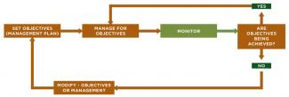
Important aspects of adaptive management include the setting of quotas for sustainable wildlife utilisation, conservancy zonation and the management of elephants, drought, fires and fisheries (below).
Vegetation monitoring is a long-term tool to measure the health of the environment by assessing tree cover and grass in designated plots. To date, vegetation monitoring plots have been established in 12 conservancies. A new site is added annually.
The scale of conservancy management
Considerable management responsibilities are carried out over huge and often inaccessible areas, despite the fact that most conservancies are under-staffed and under-financed, and many do not have a vehicle. Only five conservancies are less than 100 square kilometres in size. Nine of the 86 registered conservancies are between 5,000 and 9,000 square kilometres, which is between 65 and 120 times the size of an average commercial farm in Namibia.
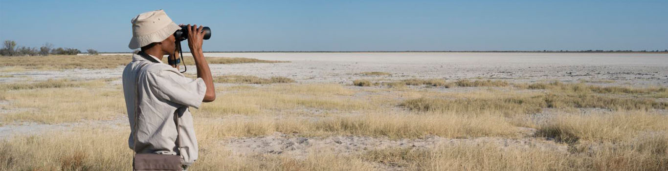
Conservancies manage both tourism and hunting enterprises, and also harvest game to sell and to distribute as a community benefit. They actively monitor wildlife using event books and by taking part in annual game counts. The information is used to guide management decisions and to adapt to constant change. Annual utilisation quotas are set, monitored and revised by the MEFT in liaison with conservancies through annual quota review meetings.
Conservancy management zones
Zonation for land use planning considers both the needs of farmers to grow crops and rear livestock, and of wildlife to move across the landscape. Zoning conservancies for different land uses can significantly reduce conflicts, while recognition of wildlife corridors allows movement between seasonal ranges, reducing local pressure. Many conservancies have zoned their areas for tourism, hunting, farming and multiple-use purposes. However, they are constrained by the fact that they do not have legal powers to enforce zones. Conservancies are working with traditional leaders and regional land boards to make zonation more enforceable.

A zonation map for Mashi Conservancy in the north-east Zambezi Region produced by NACSO’s Natural Resources Working Group. Areas marked in brown are set aside for settlement and crop production. Dark green areas are for exclusive wildlife use, with no disturbance. The lighter green areas close to the river are for wildlife and tourism. Two joint-venture lodges, Namushasha and Camp Kwando, are situated on the river. The largest area is for multiple use, including livestock grazing.
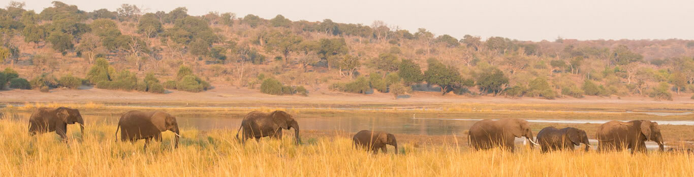
Elephants
The MEFT Elephant Management Plan recommends the implementation of a structure that divides the elephant range into four geographical components:
- Northwest;
- Central North and Etosha NP
- Kavango East, Kavango West, Otjozondjupa, Khaudum NP and neighbouring conservancies;
- Zambezi Region and Bwabwata NP.
Each of these components is divided into Elephant Management Units, which will have participatory management arrangements through Elephant Management Unit Working Groups. This provides the basis through which communal conservancies can participate and inform actions related to elephant management in their areas.

Drought
An example of the adaptive management system at work was the response to drought in the Kunene and Erongo Regions in north-western Namibia. A series of good rainfall years (2005-2011) stimulated the growth of wild herbivore populations, particularly springbok, thus allowing conservancies to use these animals for meat and conservation hunting. Since 2012, however, nearly all years have recorded well below-average rainfall and 2018/19 was the worst drought year in decades. Rangelands in the north-west are still in worse condition than the long-term average, although the north-east and some parts of the south recovered after good rains in 2019/2020.

Fire management
The management of fires is a very important conservation tool. Community forests and the Directorate of Forestry cut firebreaks and burn sections of forest grasses and bush early in the dry season, before the fire load becomes dangerous. This is beneficial to the forest because it reduces fuel-loads, which lessens the damage of wildfires to trees, and the green regrowth provides nutritious fodder for wildlife.

Fisheries
A wide variety of fish are found in Namibia’s northern rivers, including such sport-angling favourites as tigerfish, catfish and bream. Inland fisheries are an important food resource for communities. Fish productivity in rivers is being improved by creating community fish reserves that facilitate undisturbed breeding.


